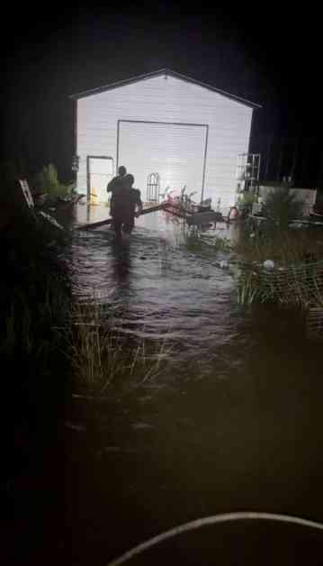
Hurricane Debby weakened as it continued moving north along the US East Coast on Friday, causing tornadoes and heavy rain that could lead to catastrophic flooding from Maryland to Vermont before the former hurricane moves away into the sea. The National Weather Service issued flood alerts and tornado watches for an area stretching from the Georgia coast to New England as the storm moved northeast at 35 miles per hour, much faster than earlier in the week. The storm, downgraded to a post-tropical depression, was centered over northern Virginia early Friday morning.
Since making landfall as a Category 1 hurricane on the Florida Gulf Coast on Monday, Debby has flooded homes and roads, leading to evacuations and water rescues as it slowly moved up the East Coast. The National Weather Service reported a few tornadoes since Thursday, including a confirmed tornado near Marshallton, Delaware. There were no reported casualties or damage from this incident. Earlier, a tornado killed a man when his home collapsed in Wilson County, eastern North Carolina, damaging at least 10 homes, a church, and a school.
North Carolina and South Carolina were hit hardest by Debby’s heavy rainfall. The storm is expected to produce another 3 to 6 inches of rain in some parts of southeastern North Carolina, with total maximum amounts of 15 inches for the storm. Additional rainfall of 1 to 3 inches in parts of eastern South Carolina will bring total storm maximum amounts up to 25 inches. Further north, around 10 inches of rain are expected to accumulate in Virginia, while 2 to 4 inches are expected in some parts of Maryland and Vermont before Debby is done.
In the wake of Debby, a stifling heatwave was forecast for Florida and the Deep South on Friday. Temperatures are expected to exceed 100 degrees Fahrenheit (37 C) across the region.


